Andromache Aug 19, 2012

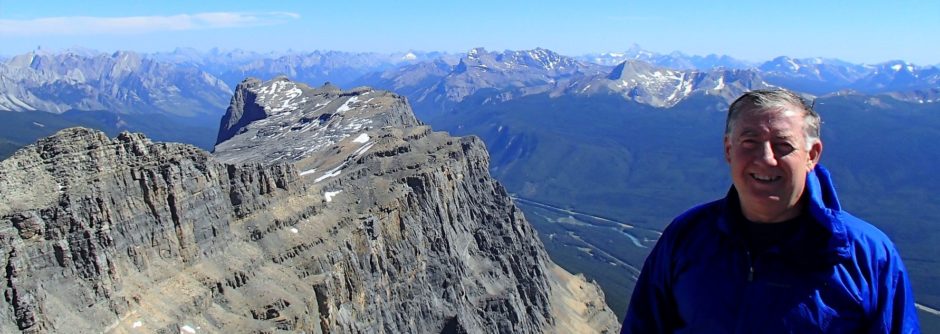
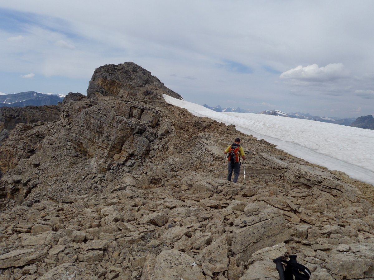
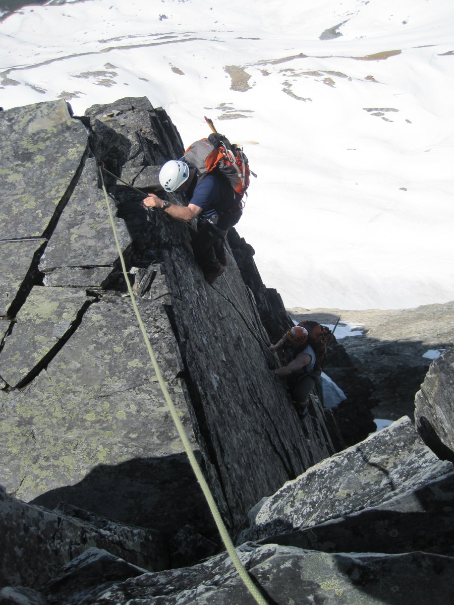
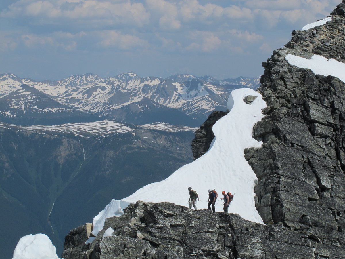
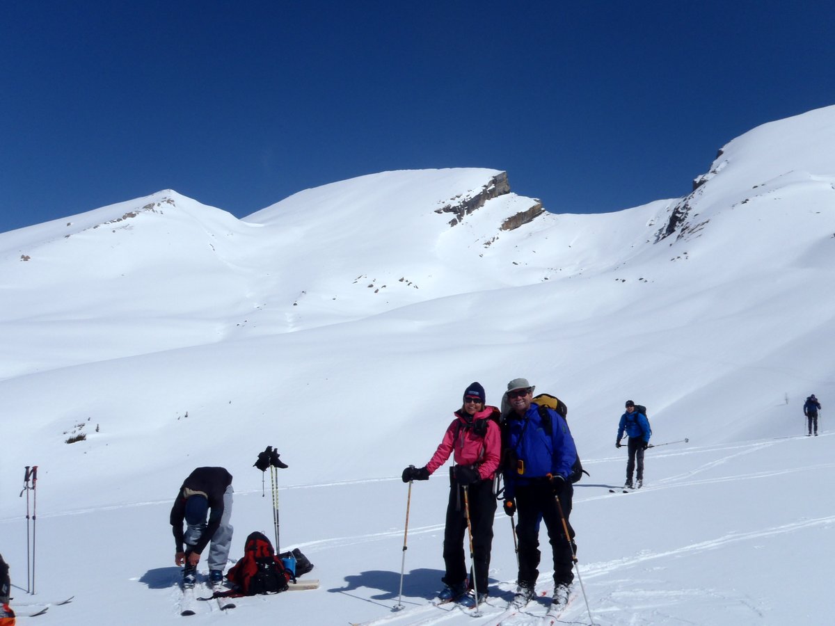
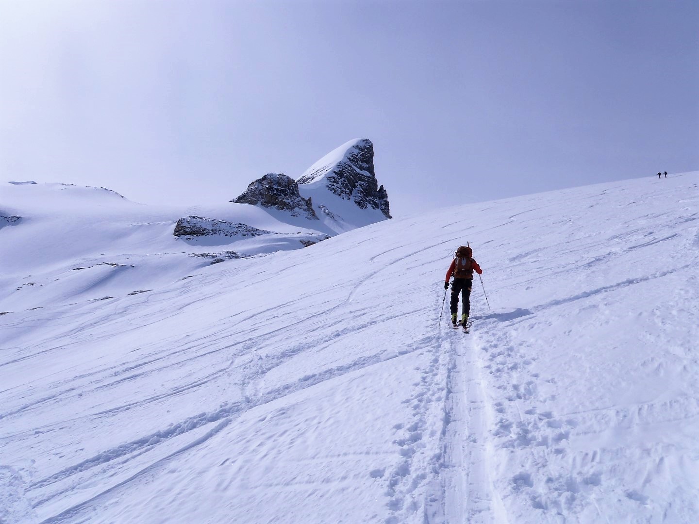
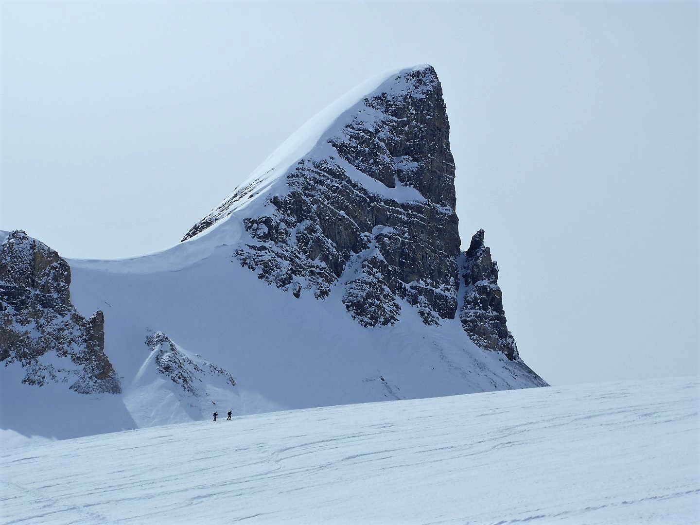
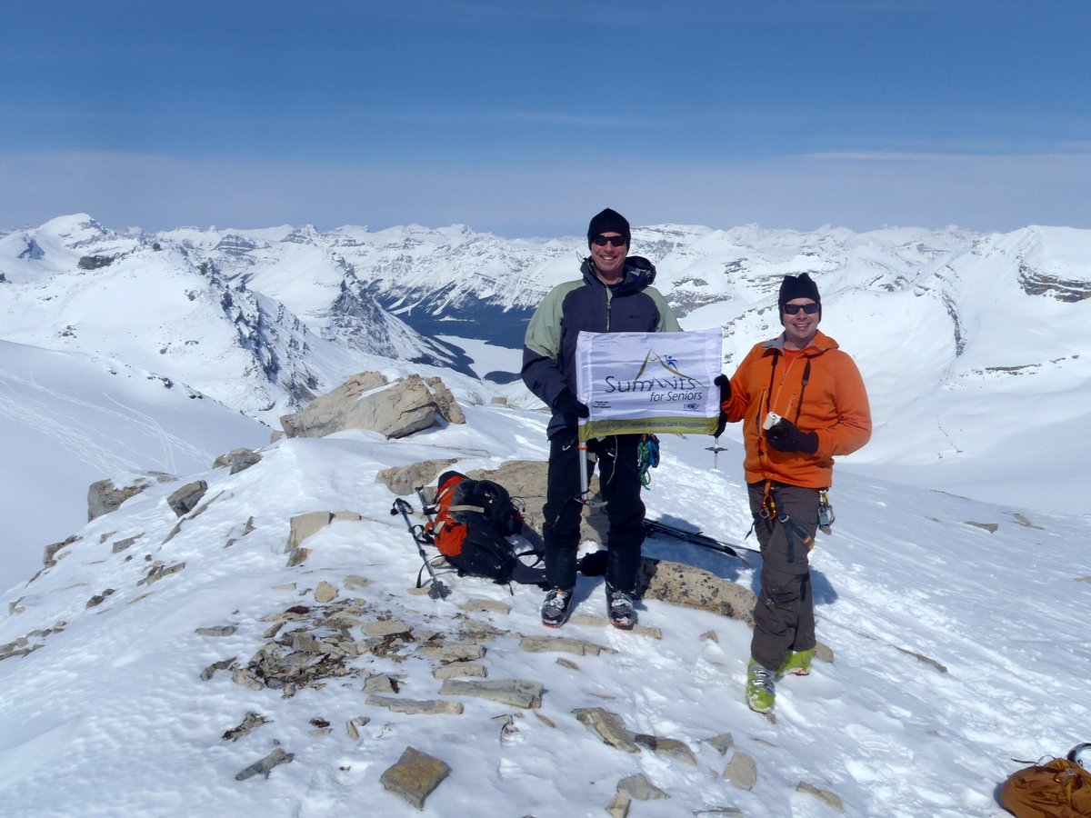
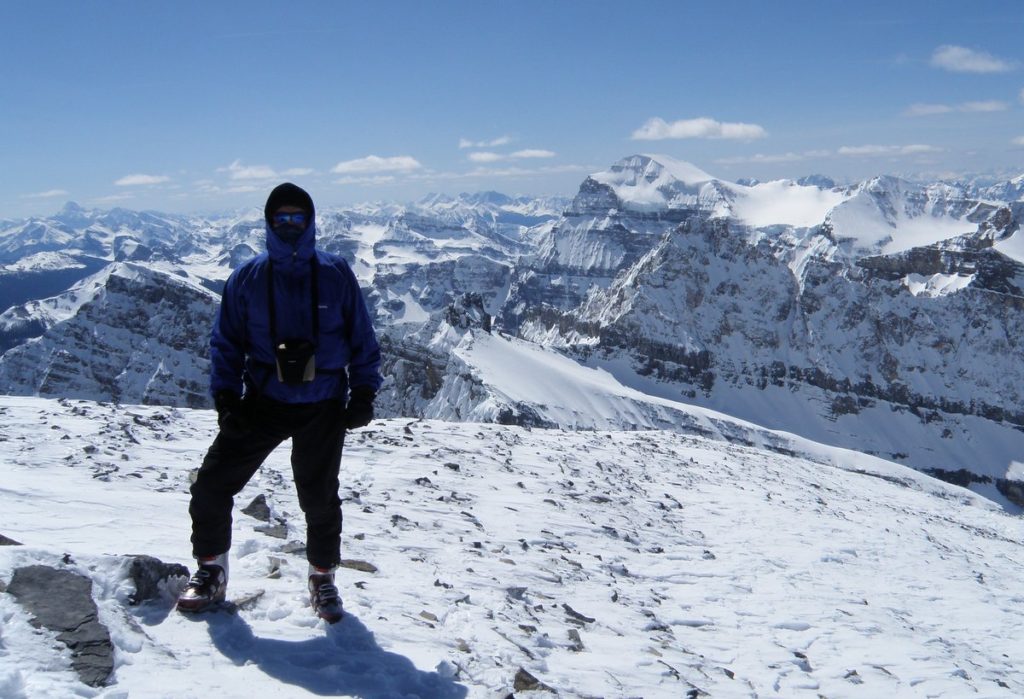
Last minute decision to meet Kevin at Lake Louise Sunday morning and we were off to do plan “C” which turned out to be Andromache.  Went up Hector valley on trail – RH side of creek – and through rockband left of waterfall – a little moderate scramble.  Stay to valley bottom on grass if can because want left valley but not worth gaining elevation early as will sidehill poor broken rock.  As you near high point of pass move left up scree and broken rock in a gully which gains the ridge of Andromache.  Up more broken rock to un named and then down broken rock to low point beside glacier and up broken rock to summit. Boots preferred – no level walking on this one.

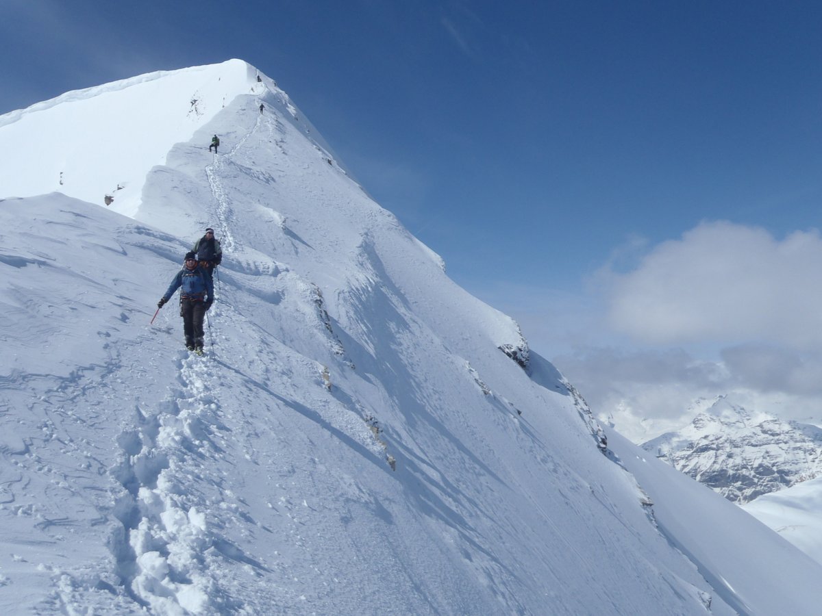
Took NW ridge down – good moderate scramble alongside glacier on upper part but the middle part of ridge and the lower gulleys are hard baked clay covered with deadly gravel and poor rock.  Have your boots with heels for this and poles – could have even used an axe to stop the sliding – scratched up my ass.  We went as far along ridge as we could following cairns and cut back left on the lowest angle gulley near pinnacles but still was poor. Cut back left at treeline to avoid the loose gravel cut lower down and emerge onto road and walk back to car.  We made lots of noise to avoid the bear down by the road – heard bear banger off to right.

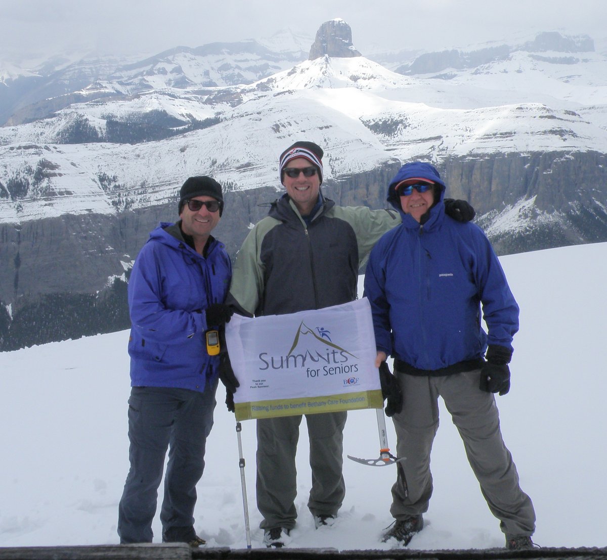
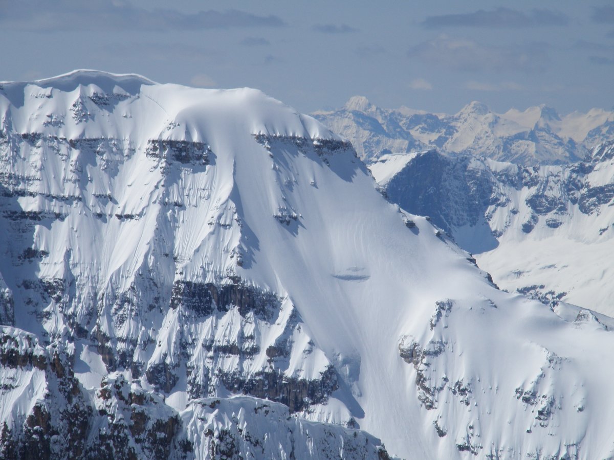
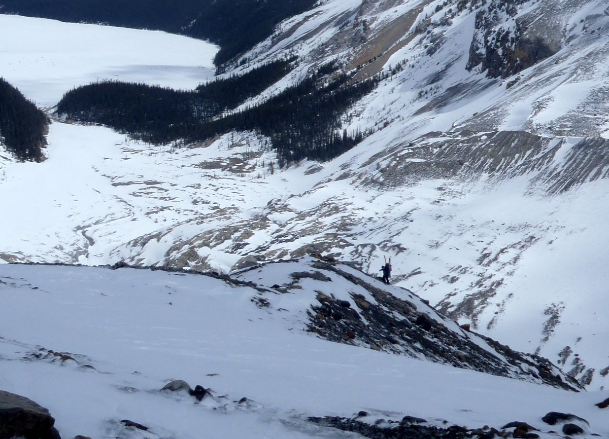
Note put some pics of potential ski down North Glacier and out the valley.  I am sure this has been done but would need good snow coverage and stable conditions but could be a good run like Hector.  Use at own risk!! Could also just ski down the uproute.

Pics at Andromache  – use full screen slideshow.

Kevin’s pics


Posted in scramble, ski mountaineering | Tagged , , , , , , , , | Leave a comment

Uto July 12, 2012 climb Rogers pass Sir Donald pics Selkirks

OLYMPUS DIGITAL CAMERA

Uto and Sir Donald Rogers Pass Selkirks

img_7013

Uto rogers pass slkirks


july-12_-2012-_17_

Uto ridge 5.1?

img_7026

Uto Rogers pass selkirks descending NW ridge

Daytrip from the campground with Mark Klassen and Kris Irwin leading Kevin, Dave and myself on a great easy rock route.   Plan A was to be North Victoria but was too hot with no overnight freeze so we decided to go to Rogers Pass and do Uto from the campground(1700m day).  Up early in the morning to beat the heat but still sweated our way up to the col.  Crossed the stream just below the waterfall which was a little wet and deeper on the way down.  Trail to the bivy site is marked with lots of pink ribbon.  Lots of snow in the bowl above the moraines and the bivy site is totally covered with only the top foot of the green throne visible. Kicked steps up to the col(~ 4 Hrs).

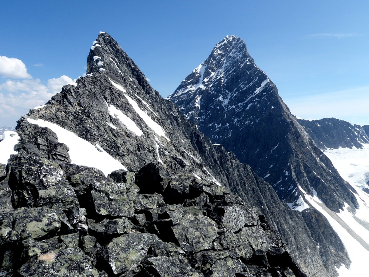
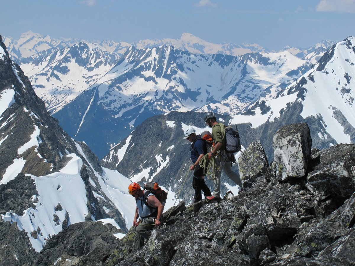
Uto SW ridge is a great rock route on solid dry quartzite.  We stayed mostly close to the ridge or went left for easier ground.  The guidebook says class 4 with some 5.1 but we found some sections or moves of mid fifth class as we were having fun so didn’t spend much time searching for the easiest line. Climbed in my red Sportiva boots – good rubber and edging – rock shoes not required.  Blocky rock so a mixture of moves with plenty of upper body moves if you are short.

Bluebird day gave great views. (~8 hrs to top) Sir Donald still has a fair bit of snow on upper part. See pics.  Went down the NW ridge – one rap – until get to a snow gully which takes you down to the bowl and back to bivy site and down and out.   Long roundtrip day (14 hrs at easy pace)from the campground but well worth it.

Pics at Uto   full screen slideshow is best.

To download any pic just go to largest version and right click.

Kevin’s pics of Uto –  and his website Summits for Seniors  – great cause.

Kevin’s blog writeup  – Uto Ascent   – Kevin even describes me as graceful!!

Mark Klassen’s site  and facebook pics

Kris Irwin’s site and facebook pics


Posted in alpine climb, rock climb | Tagged , , , , , , , , , , , , , , | Leave a comment

Kananaskis Peak June 29, 2012

OLYMPUS DIGITAL CAMERA

Kananaskis Peak summit ridge scramble

Kevin on Kananaskis Peak

Scramble with Kevin and Kelly.  Didn’t do much research and we went too far up the Wasootch trail, side hilled  in angled trees down to the creek drainage and then side hilled the other side in steep trees as we went around a slot canyon/rock band.  In end we went up and down the normal descent gully which is the 4th gully from West or the one closest to the peak.

Best way to do this trip would be to start out on the Wasootch Peak trail and catch the trail that goes down to the right into the creek drainage in about 20 or 30 min.  Follow the game trail along the left side of the drainage – past the waterfall and stay in the drainage/creek  or on the left side trail all the way if possible until go up the second drainage that comes curving down off the mountain.  High water/rock bands forced us 50 -75 m up onto the Wasootch side on the way down.

The descent gully was okay on way up as we could find consolidated rock most of the way to col. It was only 10 to 15 min from col to summit. The upper rock ridge was fun but way too short with only a short 10 m section of exposed moderate scrambling.

Very fast down on the scree/dirt and then boulder hopping all the way down the creek.

Pics here Kananaskis Peak  – full screen slide show best as always.

Kev’s pics  Summit for Seniors – great cause.


Posted in scramble | Tagged , , , , , , , , , | Leave a comment

Black Rock Mountain May 26, 2012

Mountains had lots of new wet snow from recent rain system so Kevin, Dave and I  decided on plan C and went for a sure peak that Kevin had not done.  Drove the jeep into the Ghost area – TransAlta road all potholed from Bar Cee – could use a grader-  Big hill was fine and easily went across gravel flats to old road. Turned at marker 37 and parked at edge of trees.  Went up drainage past camp areas and then cut back left to old trail- note start of trail is covered in lots of blowdown.  Some snow on trail but easy until above treeline. Had to kick steps up notch/drainage up to plateau and on final slopes to summit but not very deep. Up in 2.5 hrs including snack break.  Good workout and another Summit for Seniors.  Probably 7th time for me and 3rd for Dave.

A nice couple (Shirley, Paddy and their dog Chloe) joined us at top and helped with the pictures. RT of 5 hours so down in a little over 1.0 hrs.

Kevin’s Pics at Summits for Seniors – great cause!!

My pics – Black Rock  – use fullscreen slideshow.

To save a copy of a pic – go to highest res version and right click to save as.


Posted in hike, scramble | Tagged , , , , , , , , , | 2 Comments

Storm Mountain – Banff – Ski – May 11, 2012

OLYMPUS DIGITAL CAMERA

Mount Storm Banff AT Alpine Touring  Ski Mountaineering Mount Ball
OLYMPUS DIGITAL CAMERA

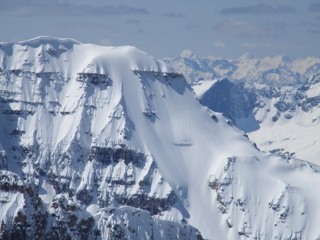
Mount Stanley North Face from Mount Storm

After skiing Quartzite last weekend on a hard crust I was almost ready to put up the skis but noticed another cool rainy day with cold clearing trend was forecast for end of week –   Good overnight freeze of – 8 C for elevation on Thurs night so decided to go for Storm on Fri.  The amount of overnight freeze, the sun, cloud cover and temperature rise are the keys to these trips so best to be safe.   I had been saving this for a ski for years waiting for good conditions as everyone always complained about the thrash in deadfall/ trees on way up and down from road and the ugly loose scree. Now there is the firebreak that has made this much more popular and there are almost no flat spots so you could ski out the 6 km from top in about an hour in right conditions. Elevation gain is 1500m so good workout on way up.

Note this ski trip goes up a different valley than the Kane scramble route which is in next valley to the east – not skiable.

Trip worked great – parked in North ditch beside start of firebreak. Start at 6 am – Walked across road and down to creek – easy cross on rocks and then skied up from there.  Icy rain crust so ski crampons were useful.  Three steps up firebreak and then near the top went left on a horizontal cut line/trail that went around to the drainage/creek from the Storm valley.  Should put some flagging on the tree on the corner of the cut line.  Skied up through reasonably spaced trees over and around creeks for another hour although there were open areas/avi paths on RH side that we skied down at end of day. To avoid thick trees we stepped up 50m to right onto a rock bench on RH side of trees that we went across on ledge halfway up bench. We skied above the bench on the way out and then down a narrow avi path through the rockband. (See pictures) Out of trees into middle section of valley in 2 hours.  Valley splits in two near end as there is an upper valley on RH side which goes up to the col to beside/west of the rock point that is visible from the road. That trip looks interesting as it would be about 1200 m, upper valley should collect wind deposit snow and the col looks down on Shadow lake/mt Ball.  Saw a ski TR on it early in year.

Storm mountain is lower left valley and has some long low angle slopes that lead up to storm summit. There was old wet avi debris – frozen solid- but obvious risk if hot from the left.   About 2.5 to 3hrs to corner – Lots of elevation yet to gain as about 900 to 1000m to go from here.( of 1500 m)  Worked our way up and right aiming for RH middle bowl as LH middle bowl beneath rock band  had lots of avi debris in it.  Ended up on steeper icy slopes – Wietse first time with ski crampons but he did great.  Went up to RH ridge and carried skis up ridge so we could ski upper bowl.  Left skis about 150 m from top because of poor snow quality.  Snow was thin breakable crust over sugar and rocks rest of way to summit. On top in 6 hours at noon.  Great views but cold in wind.  Day did not warm up as much as expected so ski down was icy but fast. Guess we could have slept in a bit but the amount of overnight freeze, the sun, cloud cover, wind and temperature rise are the keys to these trips so better to be safe.

Had a nice break when down out of wind after we came down through the break in the rockband.  Skied down on skiers LH side of trees most of way and then quickly through trees – avoiding creek – could walk easily in tight spots if needed – no isothermal at all.  Had to walk back uphill about 30 m to catch horizontal cutline to get back to firebreak – should have put some flagging on the corner tree of the cutline.  Ski down firebreak was easy as it had softened nicely but no isothermal problems – a lot of rock and stumps, logs. –  cross creek easily on rocks and carry skis to car.

Good trip – highly recommended now that can use the firebreak to access the Storm valley.

Pictures at Storm  – full screen slide show is best.  Some good pics of North Face of Stanley which we did last year.

Wietse’s pics   – some really good pics – use slideshow.

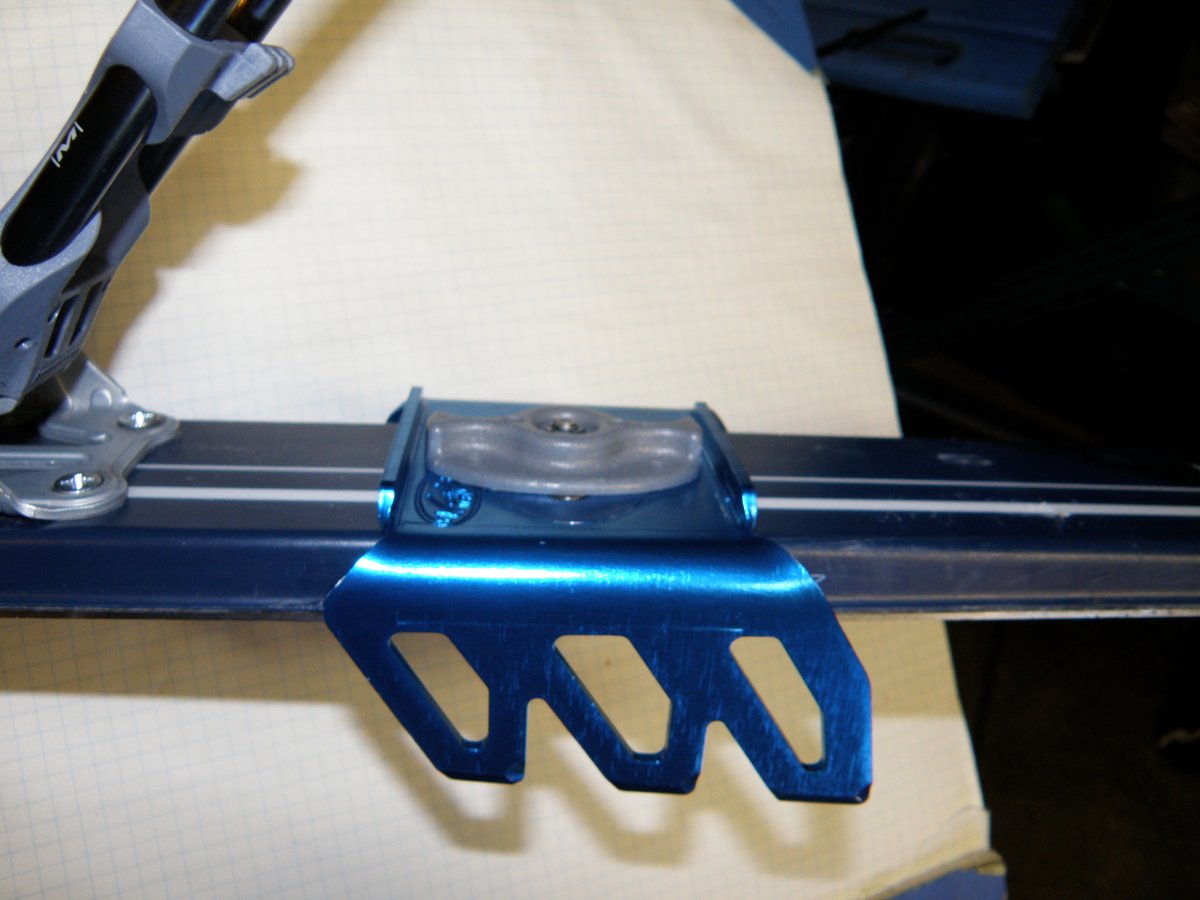
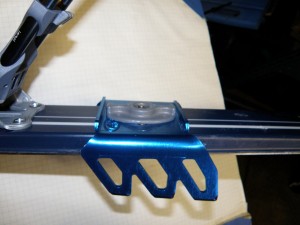
Note on ski crampons – I use Voile fixed crampons vs binding specific crampons that move up and down with the binding. I have used Dynafit, Diamar, etc moveable ones in the past.  The teeth on the fixed crampons are fully engaged in snow versus only partial engagement problems with the teeth when on high heel placements.  I have several attachment disks so can use one pair of crampons for various skis/bindings including my tele skis.  I can take them off or put them on standing up with my skis on so easy to use.  Lack of glide is never an issue because do not use on low angle snow.

See pic and more pics in album.
Posted in backcountry ski, scramble, ski mountaineering | Tagged , , , , , , , , , , , , , , , , , | 1 Comment

Quartzite Peak ski May 6, 2012

Spring skiing – Dave S had skied Ramp Peak the previous weekend and wanted to do Quartzite on Sunday because of the forecast freeze on Sat night.  Up early, meet Anders et al at Mosquito parking and skiing by just after 6 am.  The freeze was good and travel was fast and easy on very solid crust as we barely left a mark on the snow.  In to campground area (4km)and then up treed slope angling left and over two shoulder ridges to above tree line.  Angled right to cross the avi slope on right above the sharp drainage gully – about 50 – 100m of sidehilling which would be a concern if bad avi conditions.  Stayed high to right and around to base of Quarzite. Good conditions although a couple of inches of new snow on the crust made skinning harder. Ski crampons were useful as I went to about 70 m from top – most bootpacked last 150 m. – on top by11 am – so 5 hrs.

Good ski down – could have been softer but didn’t want to wait that long. Guess we could have slept in a bit but the amount of overnight freeze, the sun and temperature rise are the keys to these trips so better to be safe.  Everyone else was on tele gear.  Lower down was creamy in sun but treed slope was icy in shade but could have walked down if wanted.  Ski out was fine with no isothermal collapse.  That last 1.5 km in the trees may be a fine hike trail but it is poorly designed from a ski point of view.  Fun trip with good company.

Pics at Quartz  – full screen slideshow is best as usual – Poor pics from my small weatherproof camera – some condensation issues as well from being in my pocket.

Dave’s Pics

Anders


Posted in backcountry ski, ski mountaineering | Tagged , , , , , , | Leave a comment

Baker/Peyto hut April 20/21, 2012 ski wapta icefield banff

OLYMPUS DIGITAL CAMERA

Mount Baker , Wapta Icefield, Banff from Peyto hut

OLYMPUS DIGITAL CAMERA

Wapta icefield peyto hut approach Banff

Good trip into North end of Wapta icefield – Peyto Hut to do Baker.

Went in by moraine route on climbers right side of canyon and out by canyon route.  On way in had to cross stream on rocks at first narrows and then had to take skis off for 30 m to get up on first bench on right so easiest to scramble rocks up to snow. Skied up on right side of lower moraine in trees and then had to kick steps up onto upper moraine.  Don’t need to go last 20 to 30 m elev on upper moraine as can contour around to left and ski down to weather huts and then another 70 m elev down to glacier toe.

The canyon route needs good snow cover – basically goes down the skiers right hand side of canyon.  Have to take off skis and scramble over some dirt/rock ribs/ridge above a narrow canyon section in one place.  Avi risk so needs to be stable due to slopes on both sides.  Had to go along canyon bottom in one wider place to avoid ice flows on the right slopes.  When get to wind scoop/cornice part go to skiers right against the rock for safest way down and kick steps down or ski it if it has been tramped down.  Quick out if good snow coverage.

my Pics  – full screen slideshow best.

Kevins Pictures at Summits for Seniors – great cause. (Link dead)

Vern’s Pics

Scott’s pics

Wietse’s Pics

Posted in alpine climb, backcountry ski, hut, ski mountaineering | Tagged , , , , , , , , , , | Leave a comment

Wolverine Ridge/Purple Bowl April 15, 2012

Pics


Also shows ski exit from bowl to Larch runs

Posted in backcountry ski, ski | Tagged , , , | 1 Comment

Rhonda South April 9, 2012

OLYMPUS DIGITAL CAMERA

Wapta Icefield Saint Nicholas Peak AT Backcountry ski Mountaineering

OLYMPUS DIGITAL CAMERA

Wapta Icefield Saint Nicholas Peak 

Just got back from California – two weeks eating american sized portions and laying around at sea level and decide to do Rhonda with Kevin and Wietse.  It is about 24 km RT and about 1200 m elev gain.  Went with my Tele gear which worked well.

Kevin is climbing 50 peaks in his 50th year for a great cause which is Dementia.  See Summits for Seniors for more information and Kevin’s and Wietse’s pics.

Pics at Rhonda  – full screen slideshow best.


Posted in alpine climb, backcountry ski, ski, ski mountaineering | Tagged , , , , , , , , , , , , , , | Leave a comment

ifly Hollywood – Indoor Sky Diving Video


Indoor Sky dive at ifly Hollywood by Universal studios in Los Angeles.

Twin 400 hp fans simulate free falling or flying. I did 3 sessions for total of 5 minutes which would take dozens of sky dives to accumulate that amount of free fall time.

It takes about one minute to fall two miles or 11,000 feet.

I was reasonably stable by 3rd minute and could move forward and back and turn around by end of 5 th minute. Great fun!

Have not the video edited to reasonable size yet.

ifly link with generic videos

ifly pics of me


Posted in sky dive | Tagged , , | 1 Comment