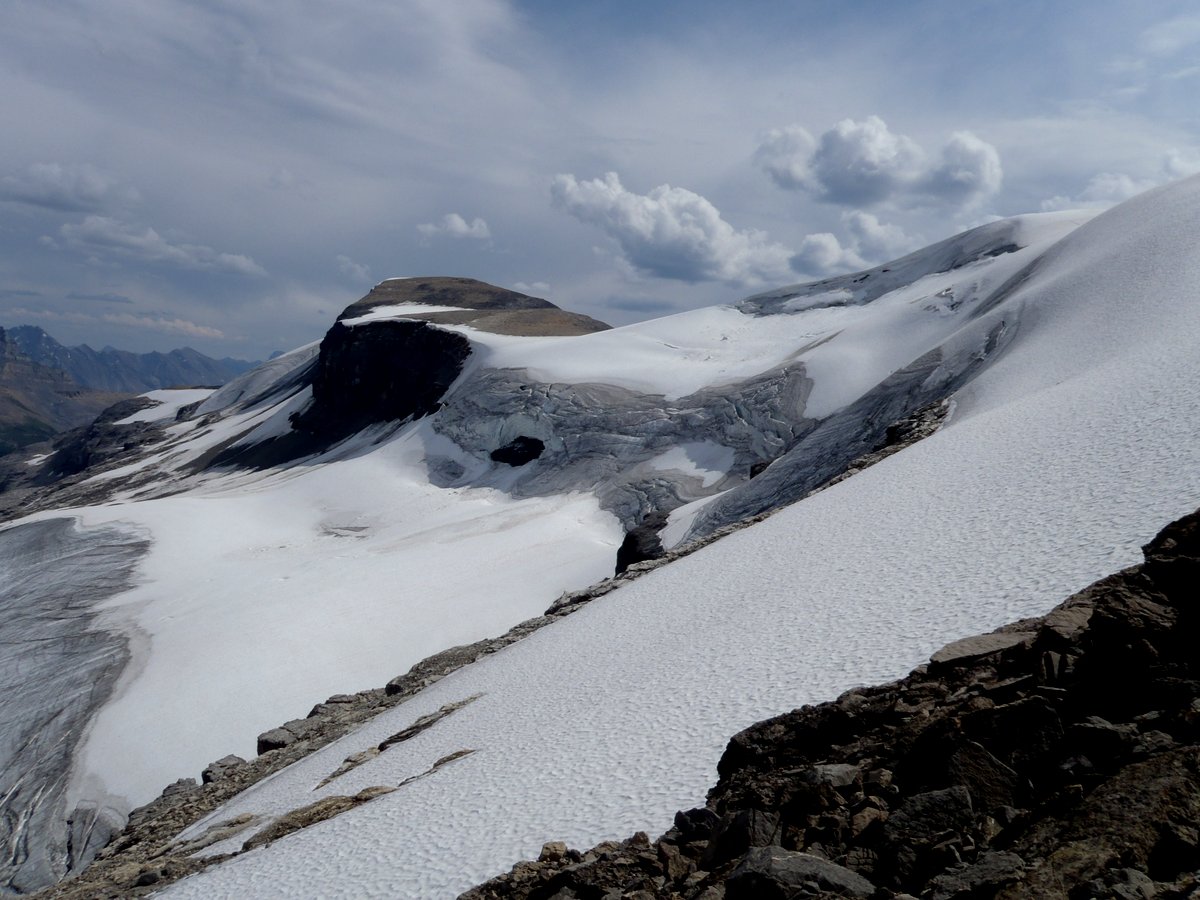
Andromache Molar Glacier
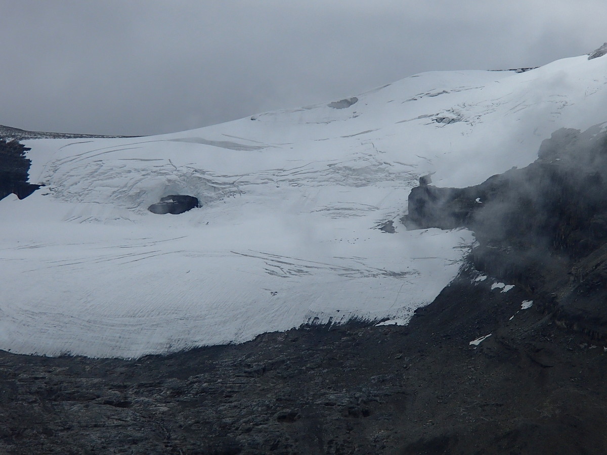
Andromache Molar glacier
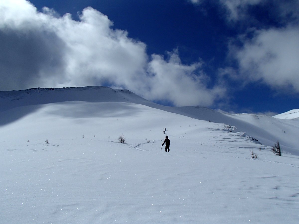
This gets done in spring with good coverage and solid avi conditions.
Andromache Molar Glacier
Andromache Molar glacier
This gets done in spring with good coverage and solid avi conditions.
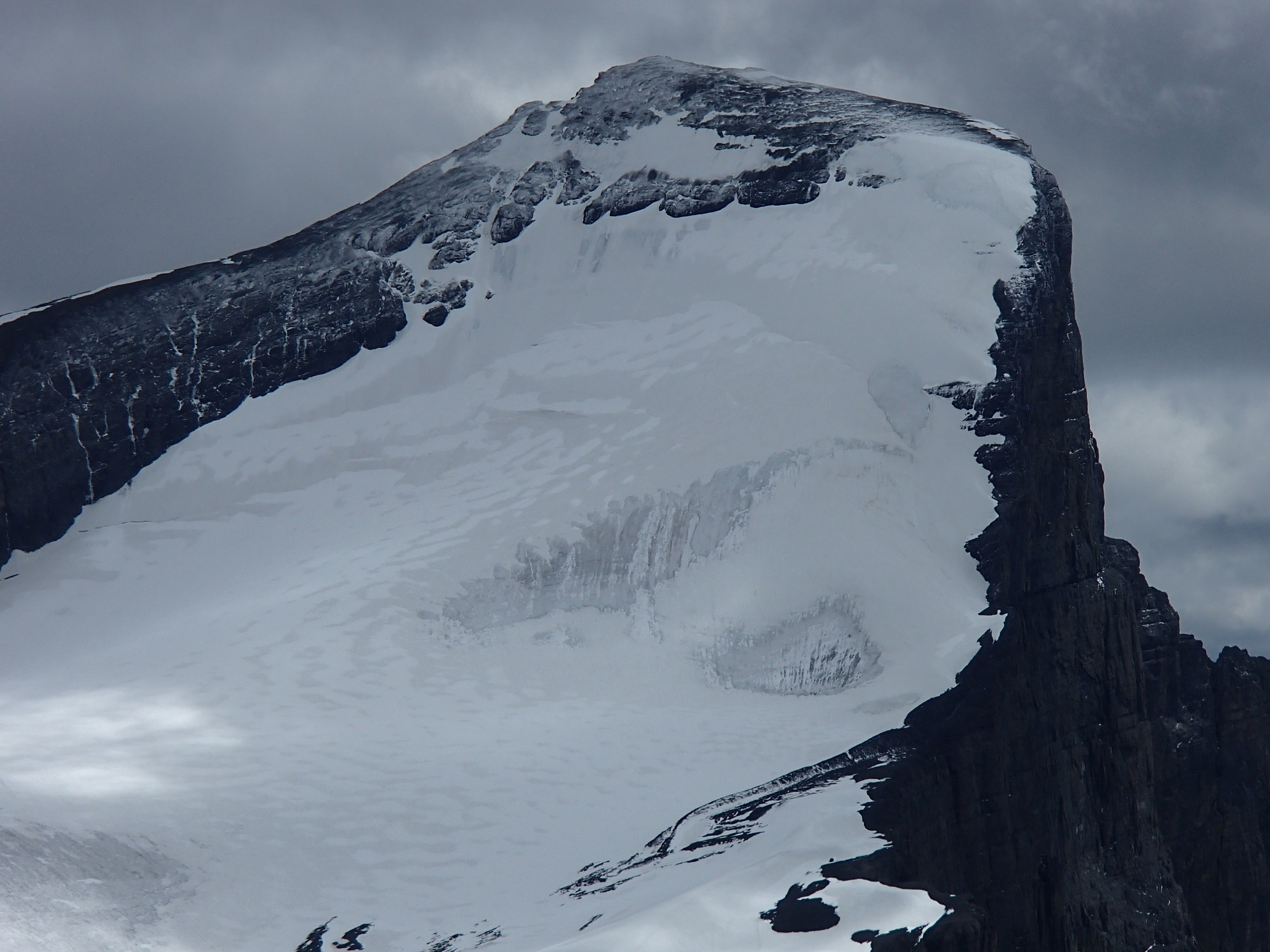
Mount Joffre North Face Glacier Route Kananaskis July 2014 East ridge on left
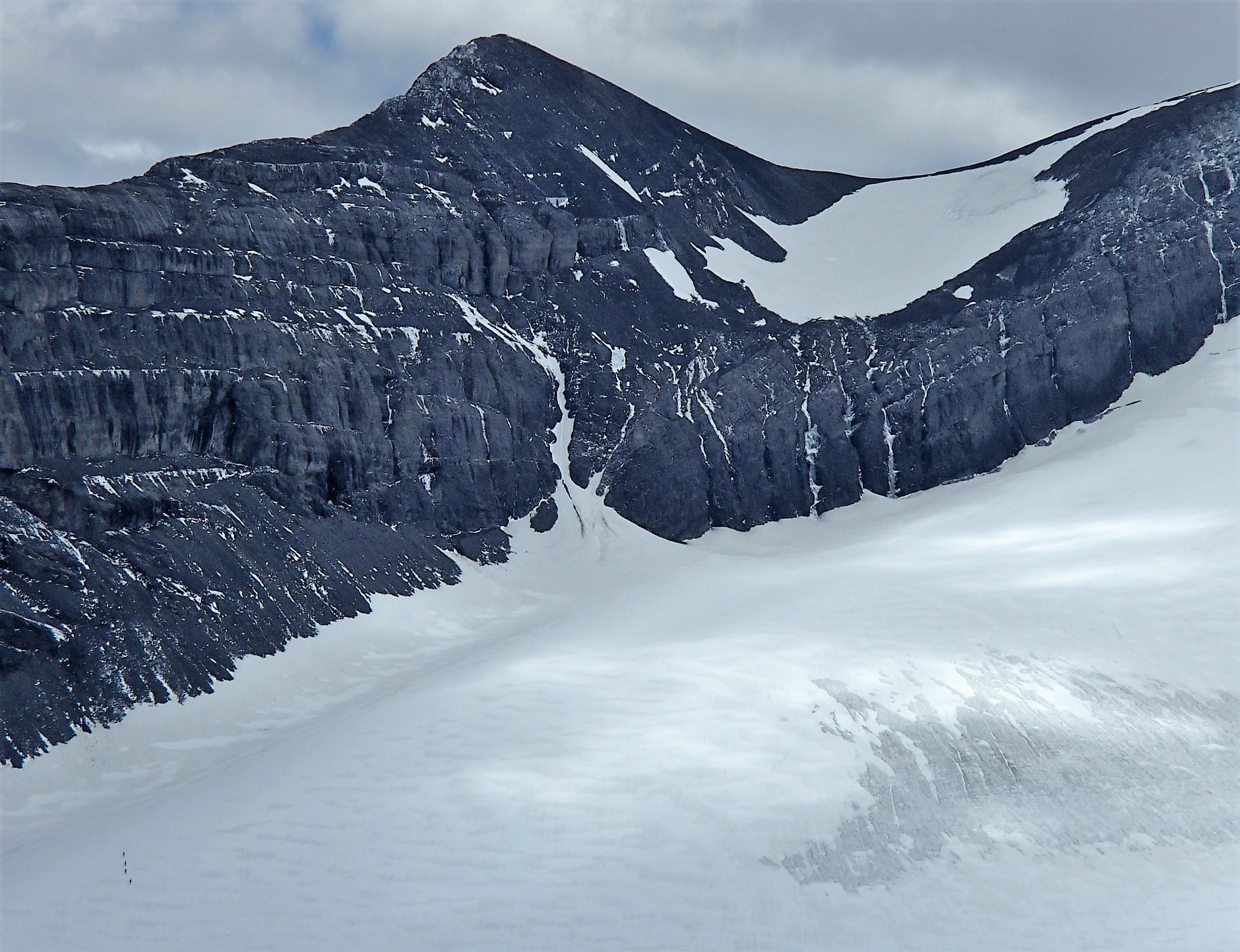
Mount Joffre East Ridge descent -Thin RH snow gully of V- 2 raps – see climbers in lower left.
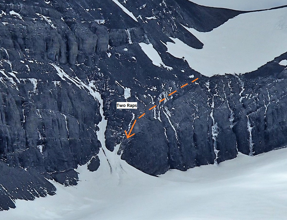
Detail on Joffre East ridge Descent – Two existing piton rap stations on side of snow gulley
Beta Pics for Joffre North Face Click on pics above for larger version.
More pics at link below.

Raf on his last peak from Kane guidebook – Northover – Joffre North face in background. Good Joffre closeups in Pics
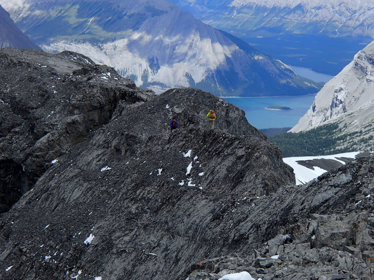
Great 3 day trip up to Aster Lake. Poor weather on way in but got Warrior and Cordonnier. Had to leave Sunday morning but Kevin and Raff took time to do Northover which was Raffs last Kane Peak.
The high trail around Hidden lake was lots of deadfall as usual but apparently that has been cleared now.
Some good beta pics on Joffre North Face – with climbers in pics
Private land – permission needed.
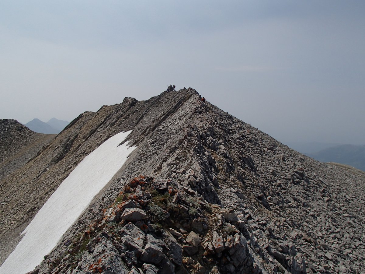
Private Land on East side of Peak but landowner was friendly. Approached by gated road (just .5 km south of his residence West side of Range Rd 31B) to a gravel pit with fence and then followed cut line which goes Southwest and intersects a bowl NE of summit. bush wacked South to next ridge south and went up East face – some route finding through a rock band – moderate and loose but went down a north gully(snow) to bowl that meets cut line and back to car. Look on google map/earth
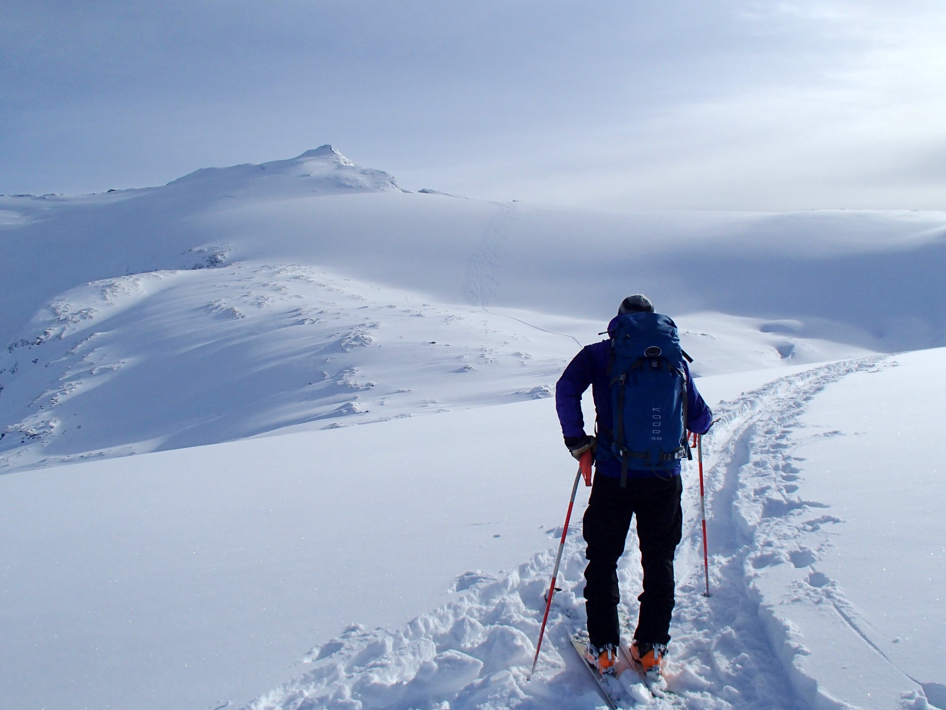
Blanket Mountain and Glacier – Andy admiring our AT ski tracks – backcountry trip to Blanket Glacier Chalet

Blanket Glacier – Mark finishes the run. My tracks beside his.
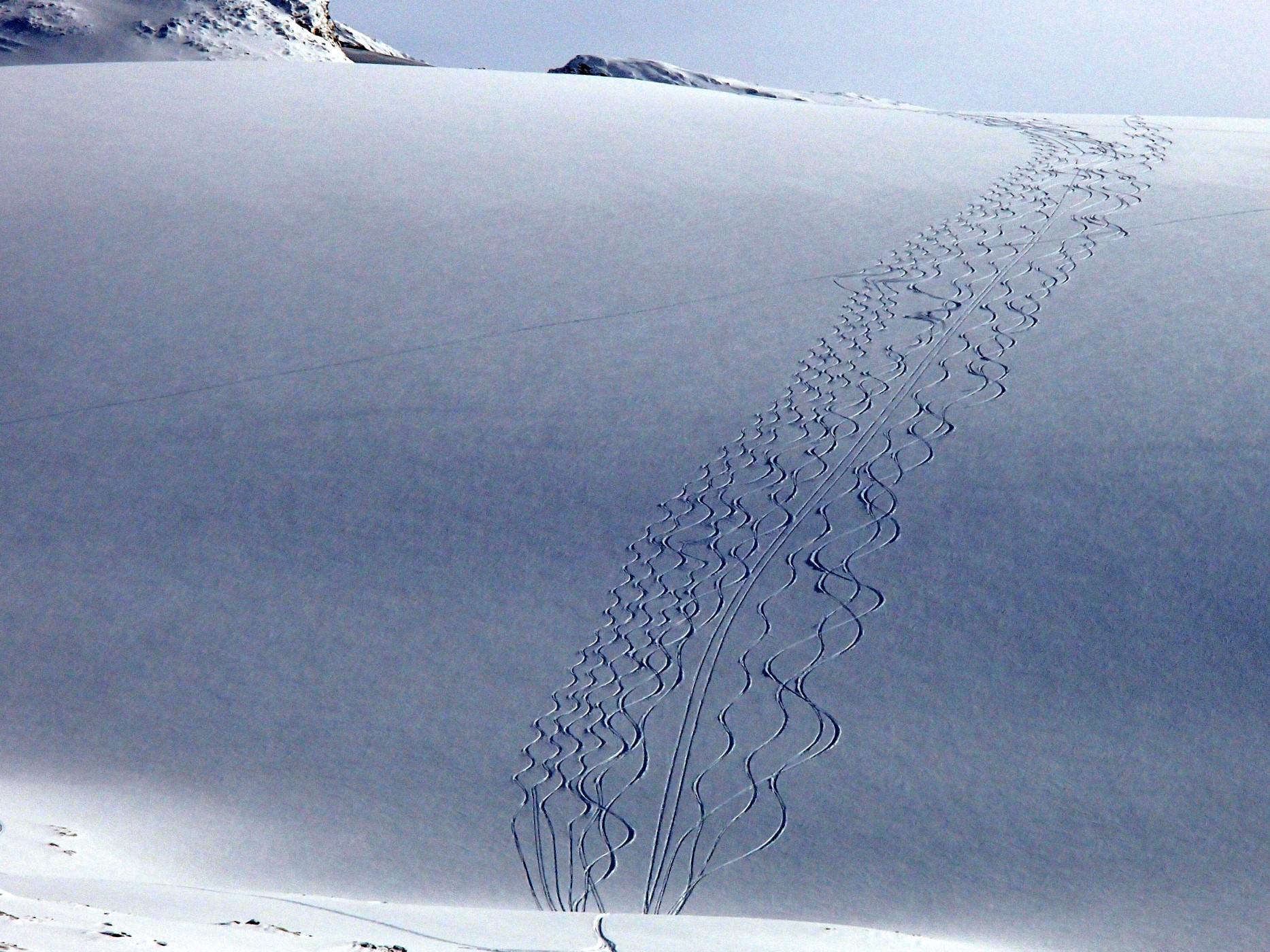
Blanket Glacier – our ski tracks are the 4 tight ones on the left. Mine second from left. Uptrack from left to right.
Annual backcountry ski trip to Blanket Glacier Chalet.
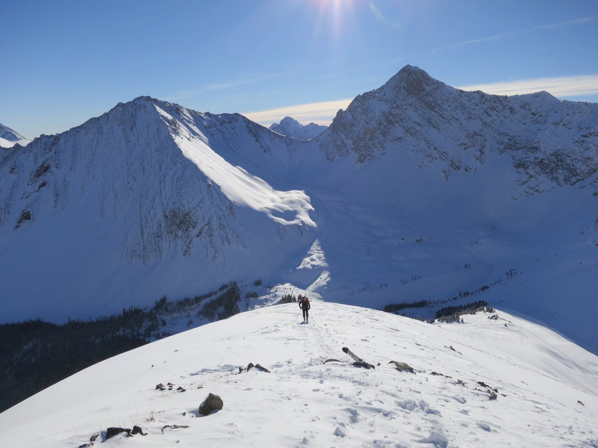
Highwood Pass ski pocaterra ridge november 11, 2013 Tyrwhitt cirque bowl
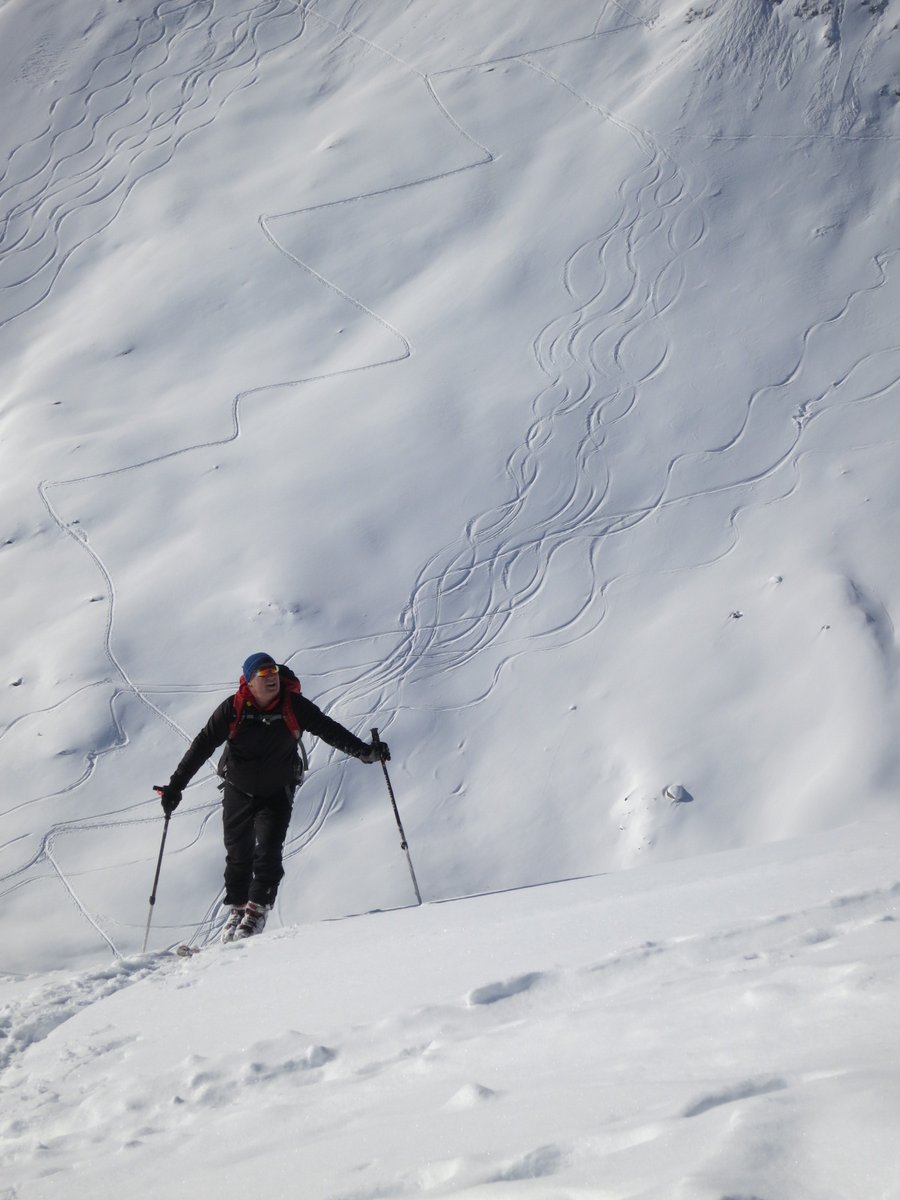
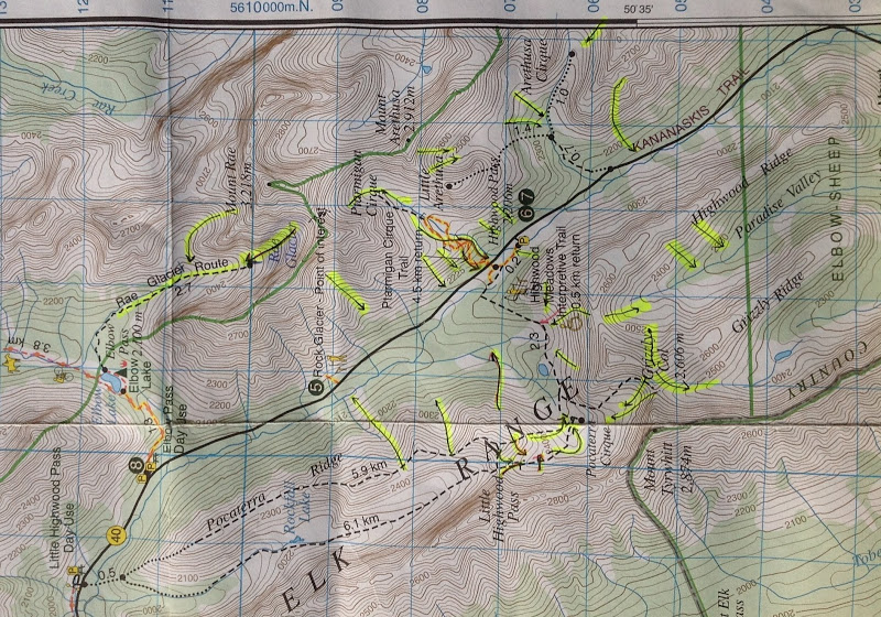
Not my map but shows the main lines – lots of variations
First ski trip of year to Highwood pass to top of Pocaterra ridge. 3 hrs up.
Lots of people despite – 15 C in park lot.
Better snow than expected and warm, sunny and calm on top.
Sunny, calm and warm day for October. Good outing with Wietse and Vern.
On top in about 5 hours with some lost time in 2 or 3 places. RT in 9.5 hrs.
About 21.5 kms and 1200 – 1300 m. Email for GPS track if want.
Notes: When hit the river the trail follows left side then crosses the Wendel creek and then we crossed the river to right/North side of river and followed it for a km+ before leave river bed on large horse trail which goes up to right. The trail is initially on LH side of drainage/small creek but crosses to RH side of drainage and then up to col of Assoc hill and Assoc Pk.
From col easiest to follow road down to North for 200 m and then go straight up open slopes until hit a sheep trail which traverses right to below the left end of rockband 1. There are three rockbands.
We went up a left hand ramp in RB1 and then easy scramble for 2 m to big talus slope. followed faint trail to right across talus to base of RB2 and right to snow gully.
Snow was hard and frozen so we went around RH end of RB2 and up scree slope.
Went up slope to rock outcrop and bypassed it on left as RB3 dies out there.
Walk left on ridge to top.
Pics at Association full screen slideshow best as usual
Wietse Association
Vern Association