Private land – permission needed.
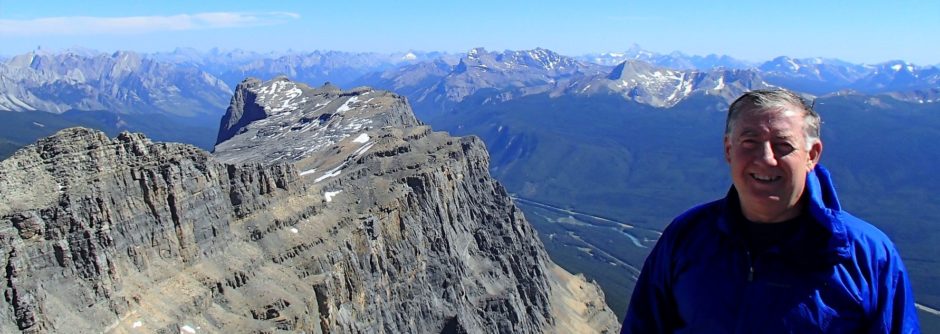
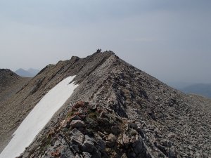
Private Land on East side of Peak but landowner was friendly. Approached by gated road (just .5 km south of his residence West side of Range Rd 31B) to a gravel pit with fence and then followed cut line which goes Southwest and intersects a bowl NE of summit. bush wacked South to next ridge south and went up East face – some route finding through a rock band – moderate and loose but went down a north gully(snow) to bowl that meets cut line and back to car. Look on google map/earth


Pingback: Centre Peak, Livingstone Range - ClubTread Community