https://billkerr.zenfolio.com/p156084193
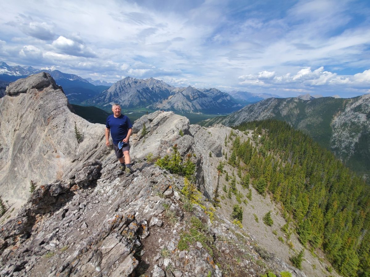
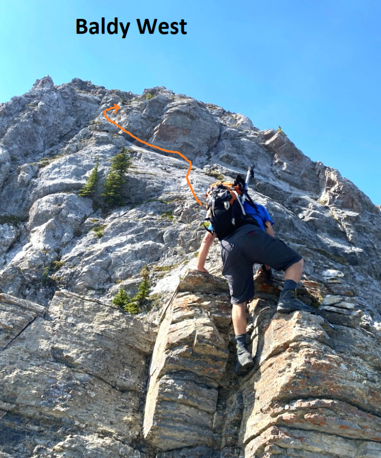
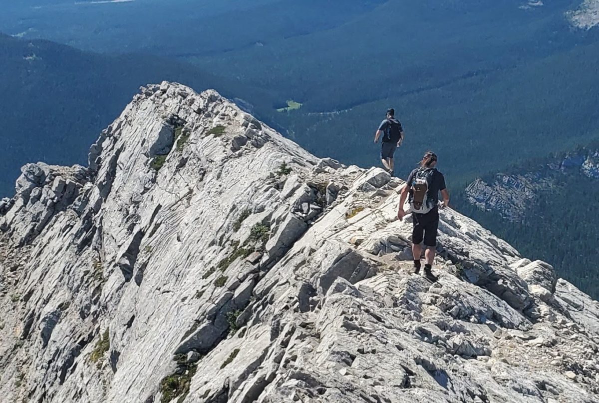
Scramble of all 3 peaks of Baldy North, East and West on a sunny day in September. Have not done all 3 for a while and first time for Rod. There are new rappel bolts/chains on down climb on South side of North peak but we just worked our way down zig zagging on ledges and grooves. Not much sign of traffic.
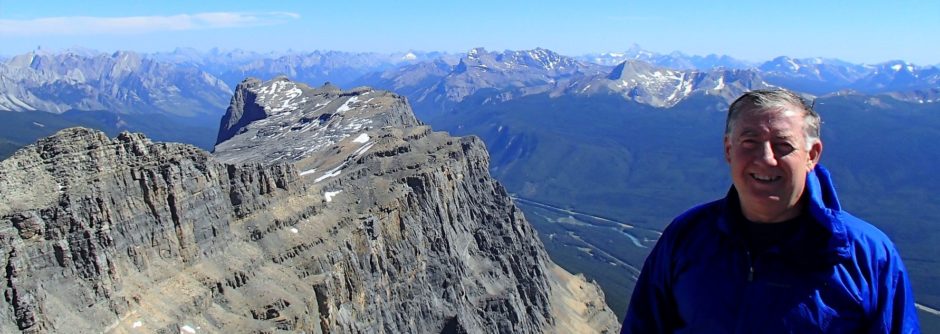
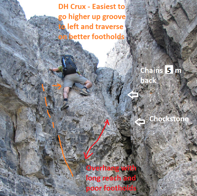
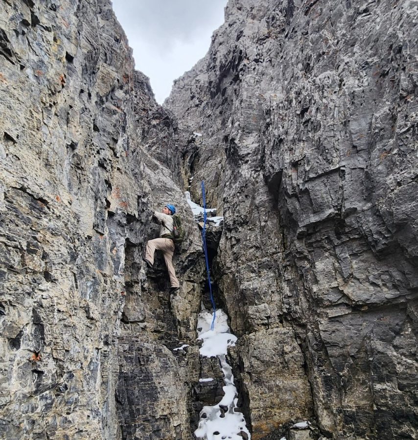
Easy over to East peak and then steep scrappy trail down to col with west peak. Went straight up ridge on West peak and then up the slabby section. The rising friction traverse along the wall was good except for the one off balance lean out move. Easier on way down.
Went down the scree gully from the low point in the East/West col and found a good trail (better than remembered) all the way down the bowl and out to the truck.
hockey, dog walk, commercial painting job, golf, physio on shoulder, etc.
Bow hut with Kevin Kuzy Vince Sadakhom and Rod. Rained and snow most of the way in. The 8 stream crossings were running high so were deep and cold. Snowed rest of day and evening so everything was wet and slippery. So did easy scramble of the Onion and then walked out.
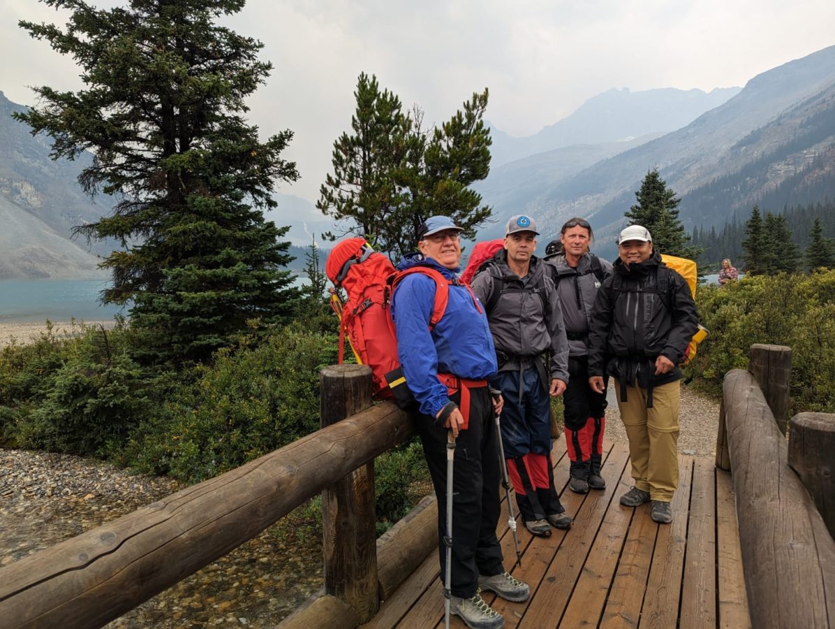
Bow hut with Kevin Kuzy Vince Sadakhom and Rod. Rained and snow most of the way in. The 8 stream crossings were running high so were deep and cold. Snowed rest of day and evening so everything was wet and slippery. So did easy scramble of the Onion and then walked out.
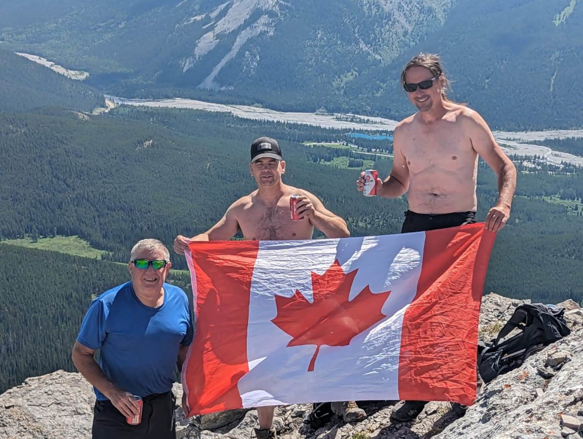
Happy Canada Day!
Very hot sunny day so did an old favorite, Nahahi Ridge. Did the scree run down the backside for variety and recommend that as a quick easy bailoff down to Little Elbow trail and a easy walkout.
Workout, hockey, hike, scramble, dog walk and even golf.
Training scramble with Vin to first peak. Very hot. 735 m and 6 km.
Sunny but sun baked and rained on and then frozen. Icy ruts and then too warm and slushy with dirt patches and rocks. Lots of runs up top with Don Y. geophysicist at CNQ.