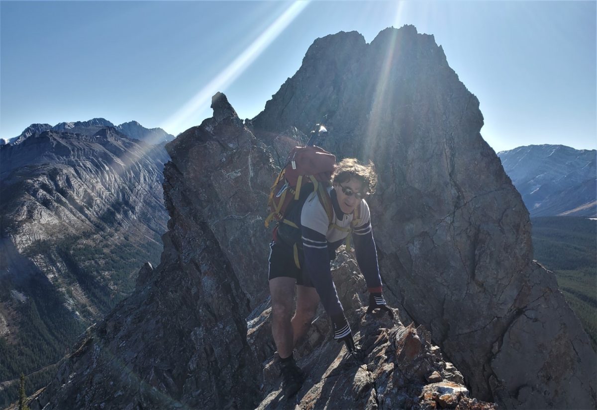
Spoon Needle Kananaskis Crux between summits October 8, 2021Fortress Mountain Kananaskis
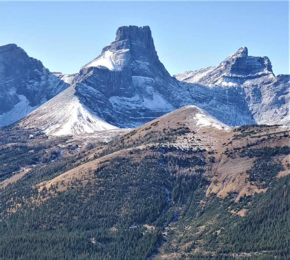
Plan D was Spoon Needle from Galatea park lot. about 800 m and 8 km RT.
Just before cross 4 th bridge turn left and follow trail along side of stream and up into trees on a bench. Some flagging and elk trails lead up ridge parallel to stream. The Elk trails bypass a steep cliff band with mossy ledges which saves time and is better that the bushwack up greasy ledges. After past cliffs, cut back left to regain ridge crest and follow trails and cairns. Some open areas along west side but generally stay close to crest for easiest travel. See MAP track in pics.
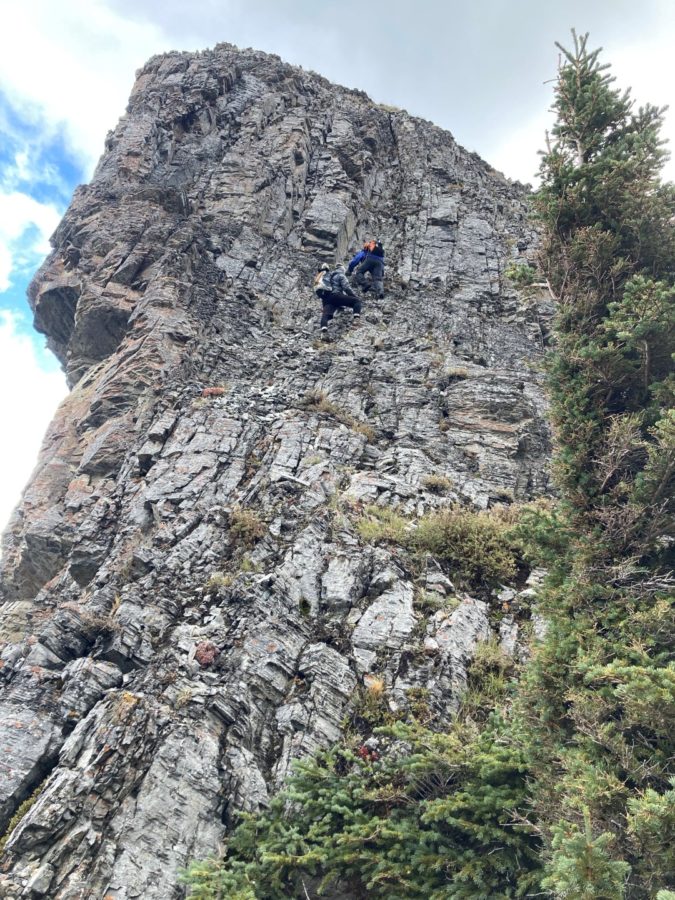
North summit is a walk but ridge narrows to knife edge before South Summit(highest). Knife edge is low 5th class but very exposed.
Knife edge can be bypassed on East on down sloping ledges. then up a gully to regain ridge crest and then some steeper face/ridge climbing along ridge crest to get to summit.
Sarrail Ridge above Rawson Lake – Pic by Rupinder Singh Sarrail Ridge – scrambling out of groove – pic by Rupinder Singh
THIS IS NOT A HIKE! IT IS A CLASS 3 or 4 SCRAMBLE/CLIMB
The Normal Rawson Lake to Sarrail Ridge Hike attains the ridge above Rawson Lake at a col and the hike stops before the steep face on the Highpoint. This ridge on the North side of the lake is also known as Rawson Lake Ridge in Andrew’s More Scrambles in the Canadian Rockies, Third Edition. This ridge is not to be confused with the ascent ridge for Mount Sarrail(NW Ridge) which is accessed from the trail into Aster Lake.
Rainy and snowy day so plan C was hike Rawson Lake and Sarrail ridge and scramble up and over the highpoint and down the other side back to the lake outlet and trail. Fun but wet trip with a short moderate scramble with careful route finding. Steep loose face with Exposure so use low angle ramps to access base of a groove beside a rectangular block. Up groove (moderate scramble – Class 3 with exposure) and then move right onto easier ledges. Up and right to base of a left ramp and then up to top.
924 m and 11.3 km RT as it was shorter to follow ridge down to lake outlet. Easy but steep travel down through trees back to lake outlet and trail. Some deadfall but good game trails.
Some video and marked pics. The pics and video of us scrambling on the face and on top were taken by Rupinder Singh. Thank you.
Pics Second click on a pic for largest size but loose comments.