
Plan D was Spoon Needle from Galatea park lot. about 800 m and 8 km RT.
Just before cross 4 th bridge turn left and follow trail along side of stream and up into trees on a bench. Some flagging and elk trails lead up ridge parallel to stream. The Elk trails bypass a steep cliff band with mossy ledges which saves time and is better that the bushwack up greasy ledges. After past cliffs, cut back left to regain ridge crest and follow trails and cairns. Some open areas along west side but generally stay close to crest for easiest travel. See MAP track in pics.
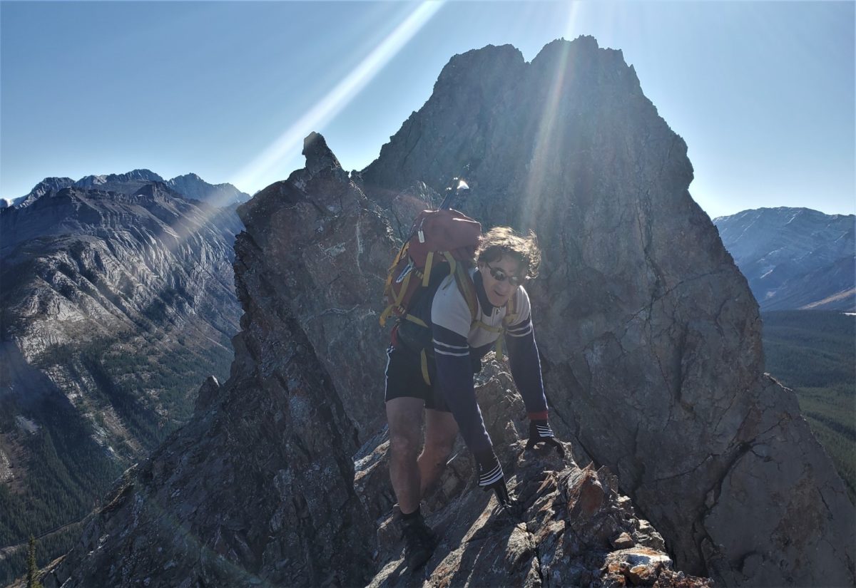
North summit is a walk but ridge narrows to knife edge before South Summit(highest). Knife edge is low 5th class but very exposed.
Knife edge can be bypassed on East on down sloping ledges. then up a gully to regain ridge crest and then some steeper face/ridge climbing along ridge crest to get to summit.

Pingback: Spoon Needle Scramble attempt July 22nd | Bill Kerr