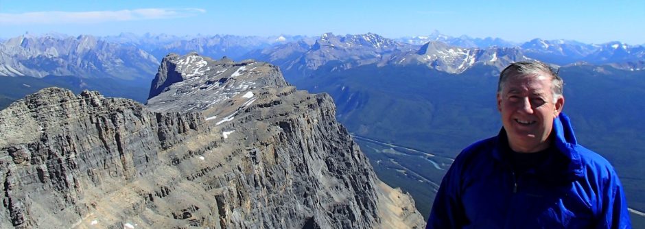
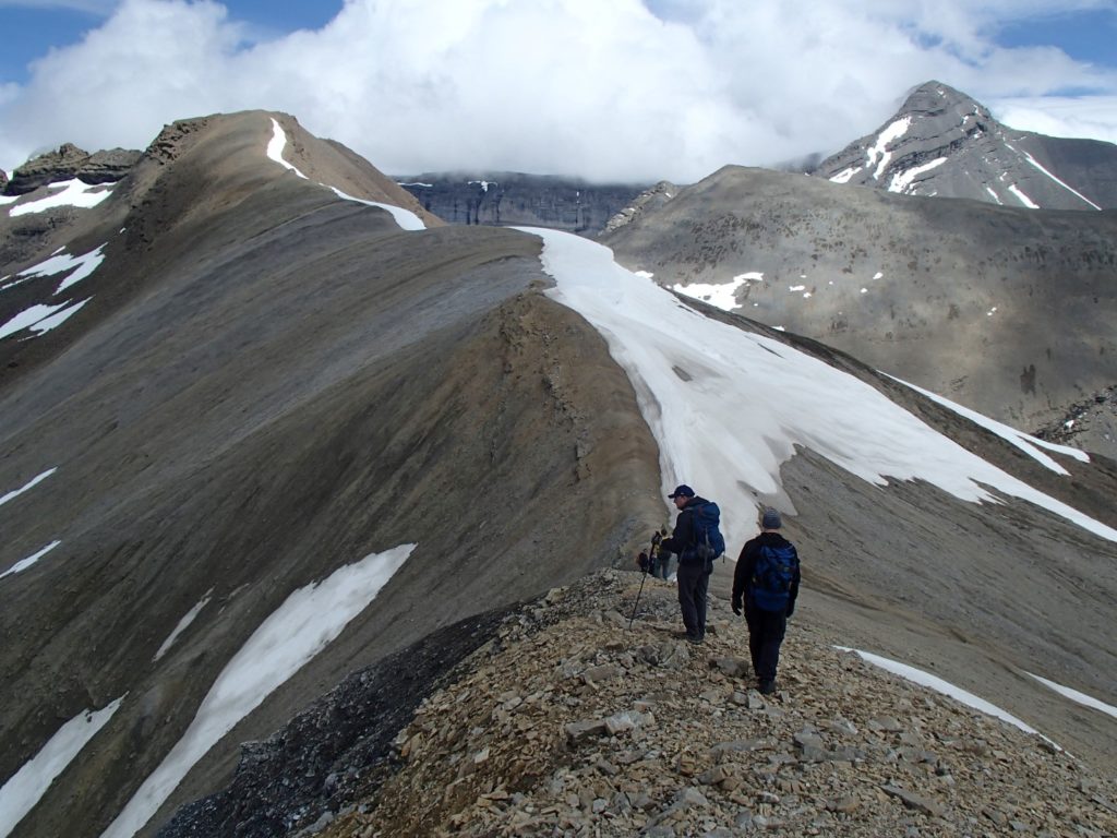
Scramble with Kevin Papke and group.
My GPS watch says 1060 m and 17.8 km RT. Max 2780 m. About 4.5 hrs up and 3 hrs out
Rain most of way in but cleared up a bit in afternoon.
Lost the trail on way up to pass as went too high and off to left so took wrong grass strip up to pass.
Snow drifts on other side of pass so went up peak to left and went too high and across loose crap to col with red peak ridge. On way back took a level line across side hill loose crap to top of snow and then back down to pass. Met a solo polish backpacker who had illusions about going to Ribbon Lake but too much steep and deep snow. Hope she turned around as rained and snowed at altitude last night and today.

