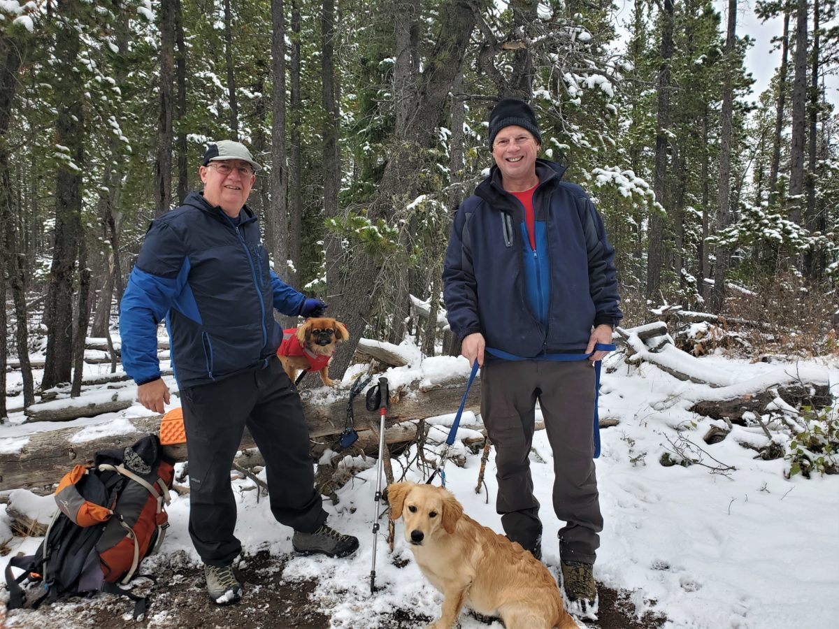
Hike with Dave, Roy and Kevin
Muddy drive in but good hike.
16 km and 800 m RT
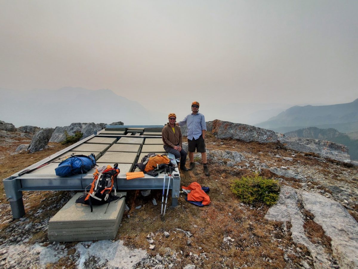
Trying to avoid smoke.
Drove to Abraham lake and did Windy Point and Buckle with Kevin and Roy.
820 m and 7 km. 930 m total.
some smoke. long drive.
From roadside to top without stopping 1 hr 30 min.
Training is hockey and golf once per week, weights, dog walking and hikes.
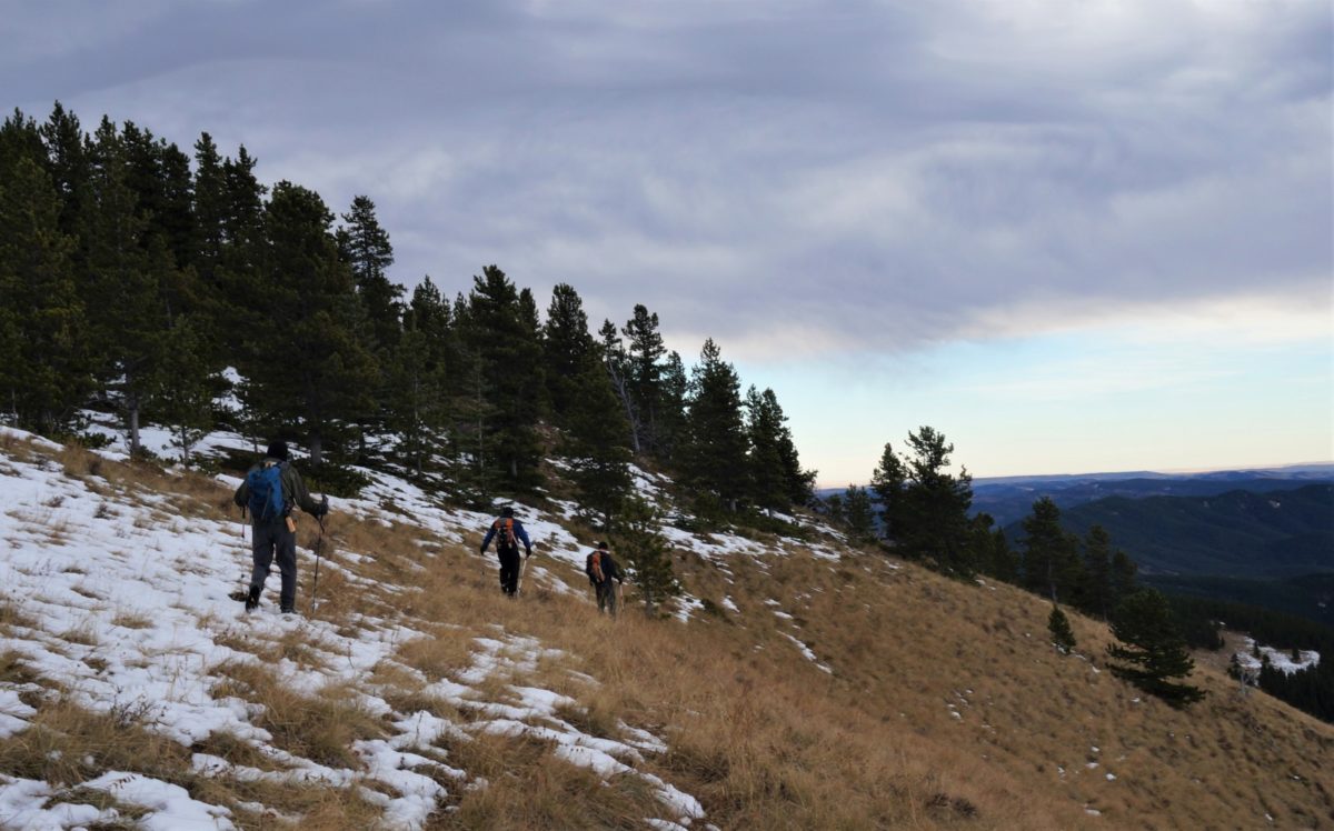
Hot day. Lost track in trees and did some bushwack. went up 600+ m but not feeling it so pulled plug at treeline.
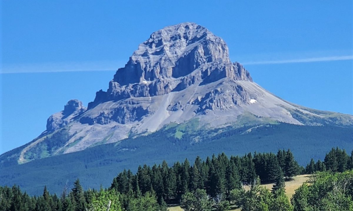
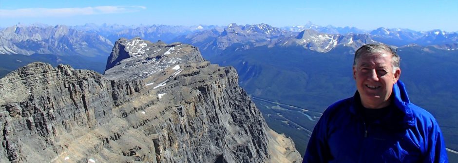
Crowsnest Mountain – Moderate Scramble. 2875 m
Allison Creek Road is a little rough so was glad to have the jeep. Start at 1680 m so about 1200 m gain despite 1100 m in Kane guidebook. My watch 1150 m and ViewRanger 1250 m recorded more and 9 km RT. About 4.5 hours up with waiting time due to lots of people and investigating several false trails. Saturday so almost 30 people.
Note this is a Moderate Difficulty Scramble and NOT A HIKE despite Alltrails reviews.
Note the tracks on ViewRanger and Alltrails both are slightly off as they are up to 20 to 30 m to the climbers right of the dirt bike trail that is used to almost treeline.
After break tree line there are multiple up tracks and down tracks in the steep scree that lead up to the first rockband/wall. The least steep and loose is probably to left of snow patch and aim for yellow patch on wall. There is a green yellow painted mark here as well. Follow base of wall up to right to gully with some rock steps. At 3/4 way up gully traverse left on large ledge to climbers left to get to the top of first cliff band. If go to top of gully there are 3 other trails that lead to steep scrambling or less attractive options. Lots of people lose their way on this one.
Follow scree up to left to Second Cliff band with black stains and follow base left to gully that leads to chained section that takes you to top of second cliff band. Gully is loose and a bit dangerous with too many parties. Chained section is down sloping small ledges and steps and easiest to climb or step up with feet/legs and have one hand on rock and other on chain for balance. Takes more energy if pull up with both hands on chain or if lean back too much on chain. First chain to corner and a bolt. Second chain bolted at both ends and in middle. The rock steps are getting polished as this was not as simple as was in past.
Above chains follow trail off to left and then stay on left high trail for long right traverse around to upper mountain. There now are too many up and down and false trails so try to follow cairns to try find easiest or best up trails and avoid dead ends. This section has degraded from 20 years ago and is harder to figure out than it was in the past. Lots of people all over the place and many had to back track from bad trails(steep, loose and dead ends) and some gave up. Creates chaos as much loose rock is knocked down which turned around some other people.
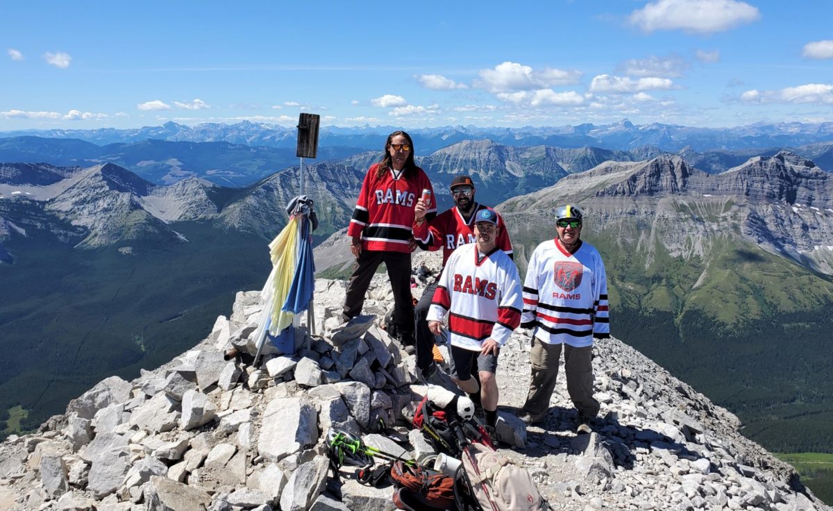
Generally up right across a bowl on left higher trail, over a small ridge, big switch to right, up slabby rib with cairns, ledges/switches and then switch back left to ridge and up right on ledges and trail to summit ridge. Easy walking on wide summit ridge.
Link to Pics
Will add more pics as get them from everyone.