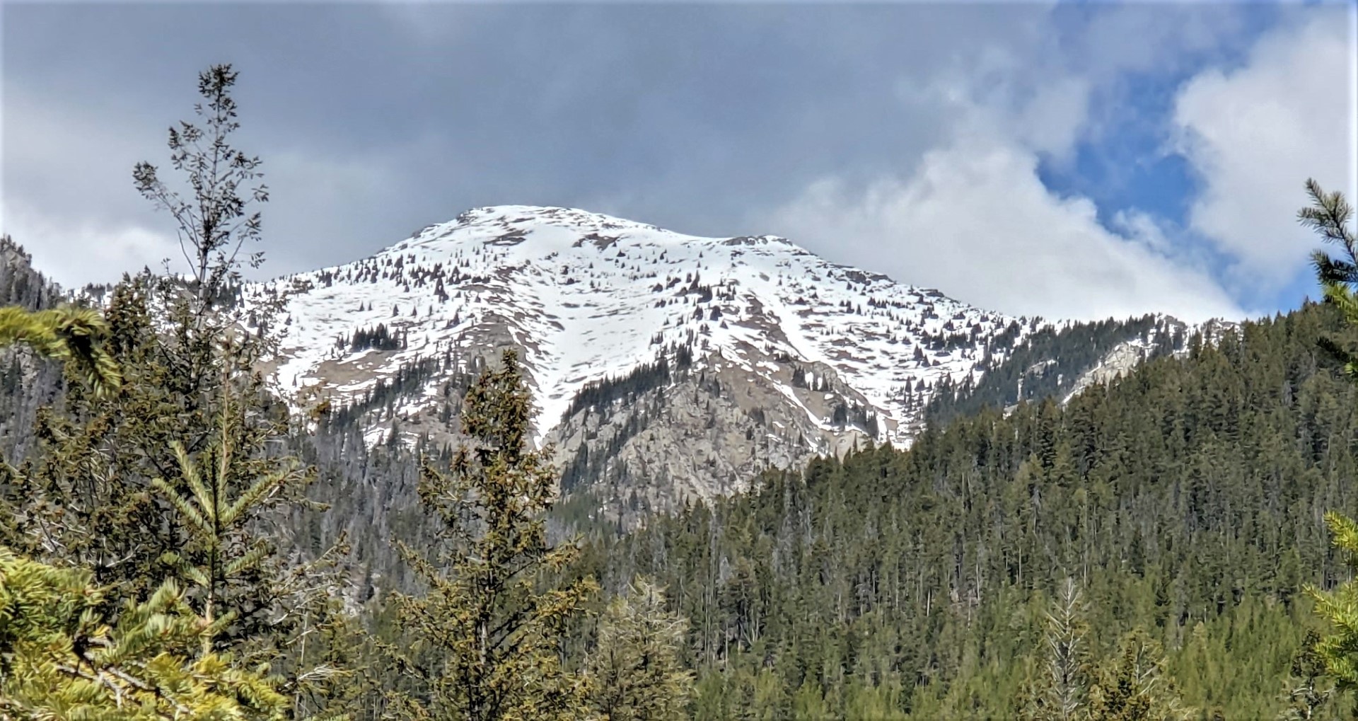
Pinto Mountain Invermere columbia valley May 10, 2019 Regular route is left bowl and ridge but too much snow on trail in trees/valley so we went up early onto SW ridge which is right skyline.
Invermere Area Conditions + 25 C in valley – tried Pinto Mountain Friday May 10 but snow in trees at 1650 m and waist deep at 2350 m. Two to 3 weeks too early. Heavily used Elk and Sheep area but only 1 tick maybe because of lots of small birds.
Regular route is left bowl(NW) and ridge but too much snow on trail in trees/valley so we went up early up a steep avi path on debris and then grass/mud and onto SW ridge which is right skyline.
Finding trailhead a bit hard. Take Bernais road left off mine road and stick to most traveled route at each intersection. Sometime faded pink ribbon and one orange diamond marker. At final cutblock/parking is a hike sign for Pinto mountain. Trail is high clearance right now.