Participants – Kevin, Dave S, Brian H, Marta W, and John. Good company and conversations helped but this was not a favorite trip. I was busy sat and was not too organized so I did not check the weather or anything. I was chilly on Murray last week so this time I wore a long sleeve top which did not breathe and I was hot all day. Sunday was probably hottest day of the summer, bright sun and no wind. I drank my 3 liters and then 2-3 more from a stream on the way down. As I put on my helmet I also remembered that I had forgot to get a haircut so that did not help. Overall I was overheated and listless most of the day and the loose rock demanded attention. Way too easy to kick off big chunks.
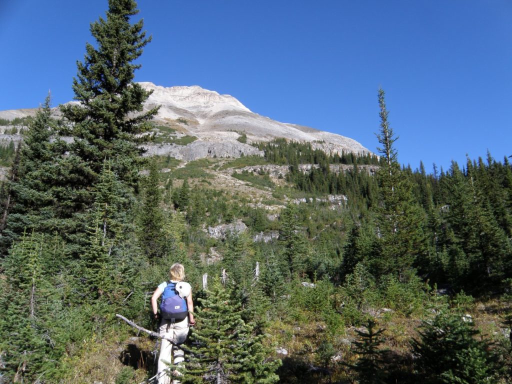
The scramble is straight forward but the upper mountain is very loose and most of the rock is broken fractured quartzite or sandstone – angular and poor handholds and footing. We went up the first gully/bowl and escaped onto the RH(SE) ridge -lots of cairns -which we followed around to the left until we hit the cliffs of the upper part. We then traversed left to the first big gully. The crux rockband is at the bottom of this gully and is difficult scrambling on solid silty limestone for 20-30 ft. Then up the gully and left onto summit ridge. Travelled around the left side of summit block and up onto broad summit. The down scrambling required close attention due to the poor rock. On the way down several of us tried the shortcut across several small ridges/gulleys to ascent ridge and the top of the first gully which went but it was much looser than the ridge route and not really worth it. The Hawk Creek access trail is good but a long walk each way. Total RT was ~ 18 km and ~1600 m – a little over 5 hours up and 10 hrs RT.
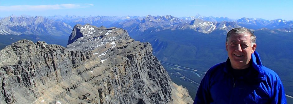
Great views compared to the smokey/hazy views of most of summer.
Glad to have done it but doubt I will ever be back.
Pics are here
Marta’s pics – good pics of route and upper part of mtn.